Where We Work
Netrakona
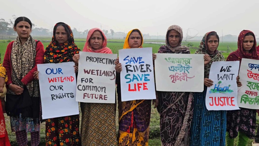
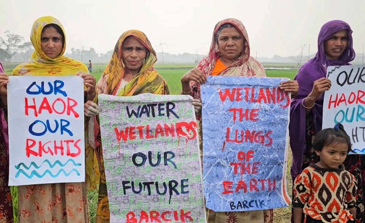
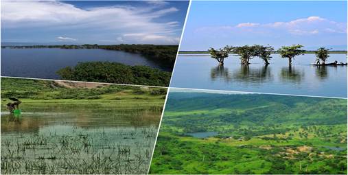
Bangladesh’s northern region of Netrokona is well-known for its vast wetlands, or haors, as they are called locally. During the monsoon season, these haors (bowl-shaped) become enormous quantities of water, forming a distinctive environment. The Kangsha, Someshwari, Dhala, Magra, and Teorkhali are among the rivers that flow through the district and help to create and maintain these wetlands. Geographically, this area is situated below the two famous ecological zones of the earth, Cherrapunji and Balpakram. The highest rainfall in the world takes place in this Cherrapunji, and below this place the wetland of Netrokona is situated. This rainwater comes through various rivers and reaches the wetland. These two places are well known for their highly concentrated ecosystem and biodiversity. Basically, Netrokona lies under the slope of the Meghalaya hills of India, and there is a close connection between its wetland and the hills.
Netrokona’s geography, which includes plains, hills, rivers, and wetlands (haors), has a significant impact on its culture. The way of life, customs, and economic endeavors of the local community are influenced by these natural characteristics.
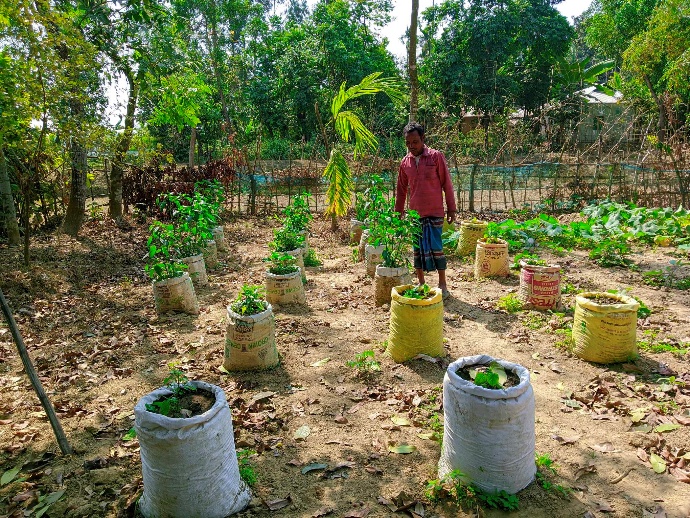
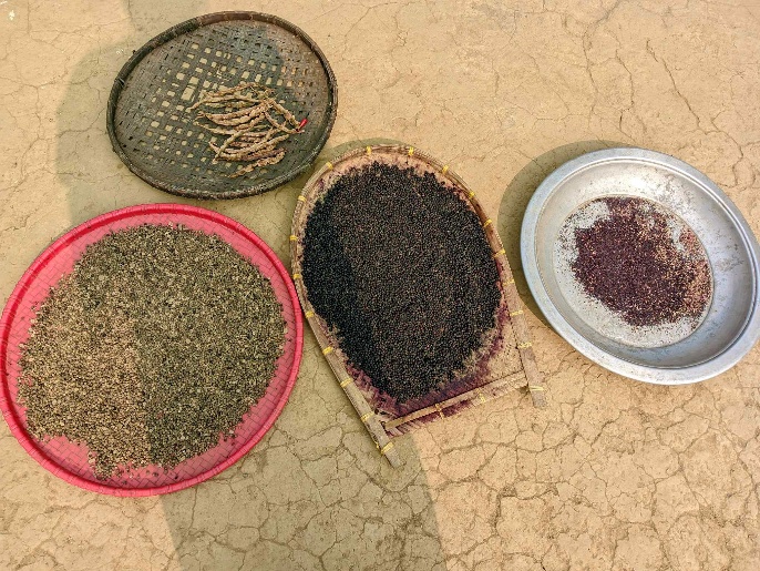
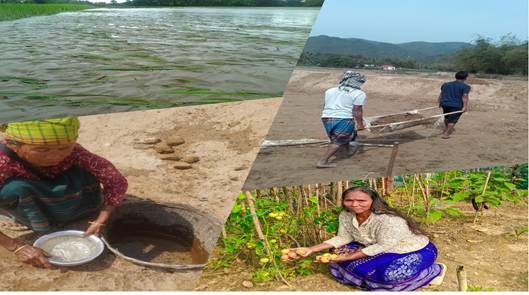
As the area is covered with wetland and floodplain regions, they remain involved with fishing for about six long months, and in the dry season these people cultivate varieties of rice or other crops.
The northern part of Netrakona, bordering Meghalaya (India), is hilly and forested. Indigenous communities like the Garo, Hajong, Hudi, Banai, Koach, and many more are living in these areas, preserving distinct languages, customs, and festivals. Communal harmony was always there among these indigenous groups and the Bengalis. These people are capable enough to stay together with their culture.
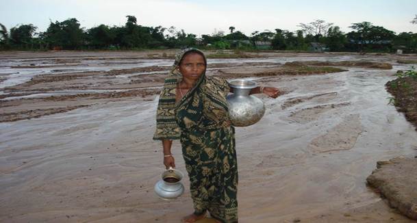
The issue of concern is that now this diversity is in danger. Sands coming from hills are the main reason to destroy this diversity. Instead of plain water, now the flash flood contains huge sands that are ultimately destroying the agricultural land. Again, the livable land, streams and rivers, and wetlands are being filled up with these huge sand slides. Research shows that the ability of the soil is decreasing, and so is the yield. This also decreased the variety of crops and depended mainly upon the rice. People suffer from drinking water severely during the dry season, and they have to spend a lot of time collecting the required drinking water.
Moreover, people are being encountered by the dominant mainstream culture so crucially that the space for practicing their own diversity is becoming less. So, gradually the cultural diversity is being destroyed in the name of development. Hills and forests are mined and cut off without hesitation. The impact is now unbearable: landslide, flash flood, sand filling, and biodiversity loss.
BARCIK has been working in Netrokona since 2001, aiming at contributing to conserving the existing biodiversity and culture of Netrakona through creating awareness among the community people about the importance of biodiversity and developing their capacity to conserve biodiversity, native seed crops, and other uncultivated plants. However, the loss that Netrakona is already facing cannot be paid off, but BARCIK is working to motivate the community and others to not further degrade the natural environment through their unplanned initiatives.