Where We Work
Rajshahi
Located in western Bangladesh, Rajshahi is a well-known city that serves as the administrative hub for both Rajshahi district and division. It is located close to the boundary of the Indian state of West Bengal, on the northern banks of the Padma River.
Rajshahi’s geographic coordinates are roughly 24.40°N latitude and 88.50°E longitude. The city is well known for producing silk and is frequently called the “Silk City.” Furthermore, because of the large number of educational institutions, it is frequently referred to as the “City of Education.” But these are the results of recent development. Rather, on the basis of natural resources, the city was termed the ‘city of ponds.’ Locals used to say this, as the city has been built centering the ponds. There were 4,238 ponds, canals, and wetlands in the city in 1961; 2,271 in 1981; 729 in 2000; and today, there are just 214 water bodies in the city. Since the relevant authorities have little control over the operations of entrenched interest groups, indiscriminate earth-dumping and unplanned urbanization have resulted in the filling of 4,000 ponds during the past 50 years (The Dhaka Tribune, 2014).
The southern border of Rajshahi is traversed by the Padma River, a significant river in Bangladesh that presents both environmental and economic advantages to the area.
Rajshahi has long been an important hub for trade and culture in the area due to its advantageous location along the Padma River. It still has a significant impact on Bangladesh’s socioeconomic environment today.
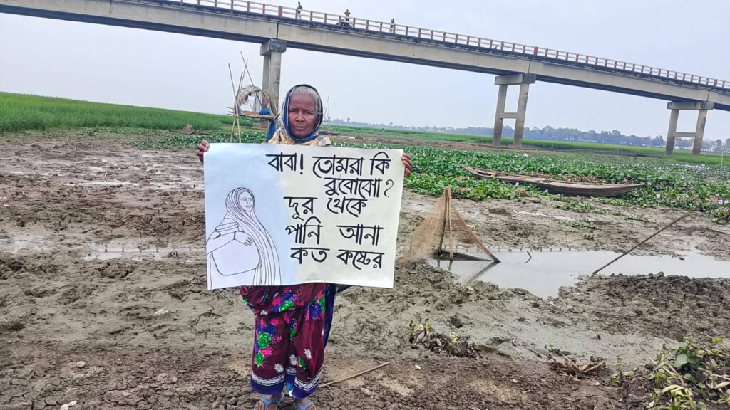
Water scarcity is addressed as a ‘problem.’
They gradually transformed their culture after the 1960s, when the use of deep or underground water replaced surface water. They chose to irrigate their farm using underground water, which is scarce. People were encouraged to pull groundwater for their everyday usage in the name of development and rights. Thus, the focus shifts from farming methods to people’s leisure. Those who cultivated “mash kalai,” or black gram, while waiting for the weather to get wet are now growing them separately in a field. The crop that did not require any attention suddenly needs the majority of it, which comes at a great cost. People used to trade paddy for this gram on an equal basis, but now the gram’s price has tripled.
BARCIK’s development intervention
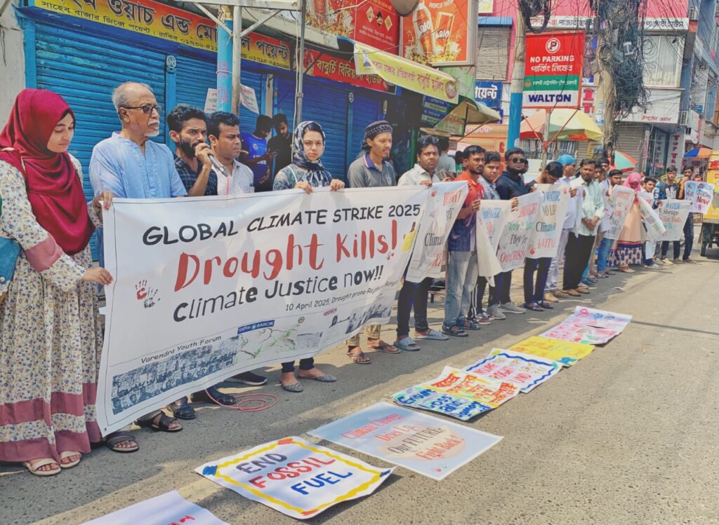
Due to the city’s location on the Padma River’s bank, people are also experiencing river erosion. People move to the city for this reason as well. In light of these issues, BARCIK adopts a people-led approach to facilitate activities at the city and union levels, offering some assistance to the community attempting to lessen the effects of climate change through advancing agroecological practices, starting with capacity building and awareness campaigns.
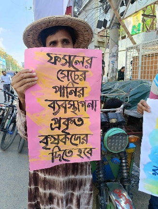
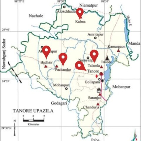
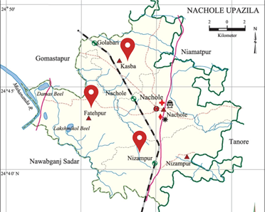
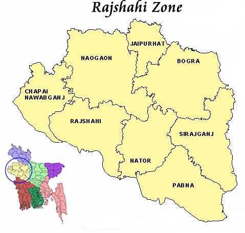
Other common activities that BARCIK implements to organize, capacitate, and benefit the target groups are training, workshops, meetings, advocacy, policy research, campaigns, networking, the formation of different occupational organizations/associations, press conferences, fairs, etc. BARCIK presently works within Rajshahi City Corporation, two upazilas, namely Poba and Tanore, of Rajshahi district, and Nachole upazila of Chapainawabgonj.